Cover Crop Interactive Maps
May 29, 2024 - Madelyn Celovsky
 Print
Print Email
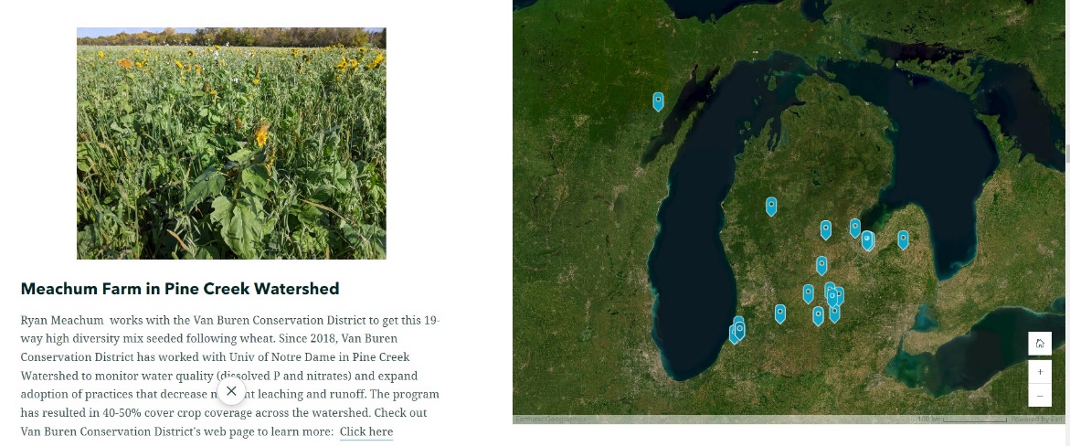
EmailMichigan Virtual Cover Crop Map
This series of maps features decades of cover crop work by farmers and researchers across Michigan.
Go to Michigan Virtual Cover Crop Map
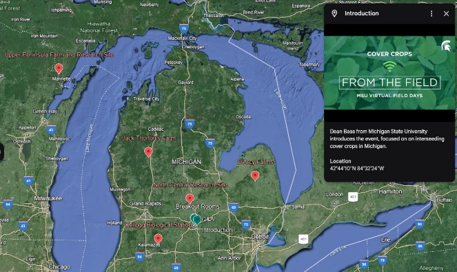
2020 Virtual Cover Crop Field Day
In 2020, MSU Extension hosted a Virtual Cover Crop Field Day to discuss the why and how of inter-seeding cover crops into standing corn. All field crop producers, agribusiness professionals, government agency personnel and others interested in field crops production and management are encouraged to view this virtual field day. Benefits, challenges, planting, yield, and herbicide interactions will be discussed in a regional manner, considering research in Southwest Michigan, Central Michigan, the thumb, Northwest Michigan, and the UP. The map allows you to ‘visit’ any or all of these sites and the associated materials.
Go to 2020 Virtual Cover Crop Field Day Map
This work is supported by the Crop Protection and Pest Management Program 2017-70006-27175 from the USDA National Institute of Food and Agriculture. Any opinions, findings, conclusions or recommendations expressed in this publication are those of the author(s) and do not necessarily reflect the view of the U.S. Department of Agriculture.